proven at Reinis
25–35%
fewer kilometres per route.
less co₂.
less co₂.
- routes that fit the shifttipping and breaks pre-planned
- extra bins sent mid-routeplanners adjust during the trip
- sensor and fixed in one planbins without a sensor keep a fixed rhythm
- faulty sensors get flagged8 checks per sensor, a nightly overview
the new pressure on the sector
If you do what you did,
you'll get what you got.
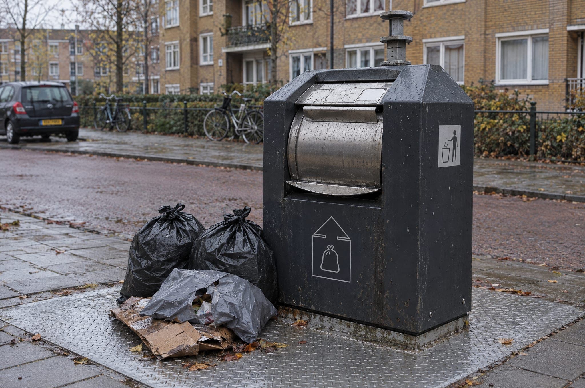
Most waste collection companies still run on logistics systems from a different era. Fixed routes. Fixed days. Half-empty or overflowing containers. Side-placements, complaints, extra shifts, and ultimately higher costs and a weaker sense of safety.
No fixed routes
Just dynamic trips.
No assumptions
Just fact-based forecasts.
No guesswork
Just real-time fill-level insight.
how it works
From signal to route,
in three steps.
01
Sensors in the containers
LiDAR fill-level sensors measure about once an hour and transmit via NB-IoT.
02
Scoop predicts when full
A statistical fill forecast per container, from its own readings: fill speed since the last pickup and earlier fill cycles.
03
Dynamic routes
Every morning the most efficient route is calculated per driver, automatically in the driver app.
what scoop changes
Fixed route or dynamic trip?
Same city, same containers, same driver. One day. See the difference.
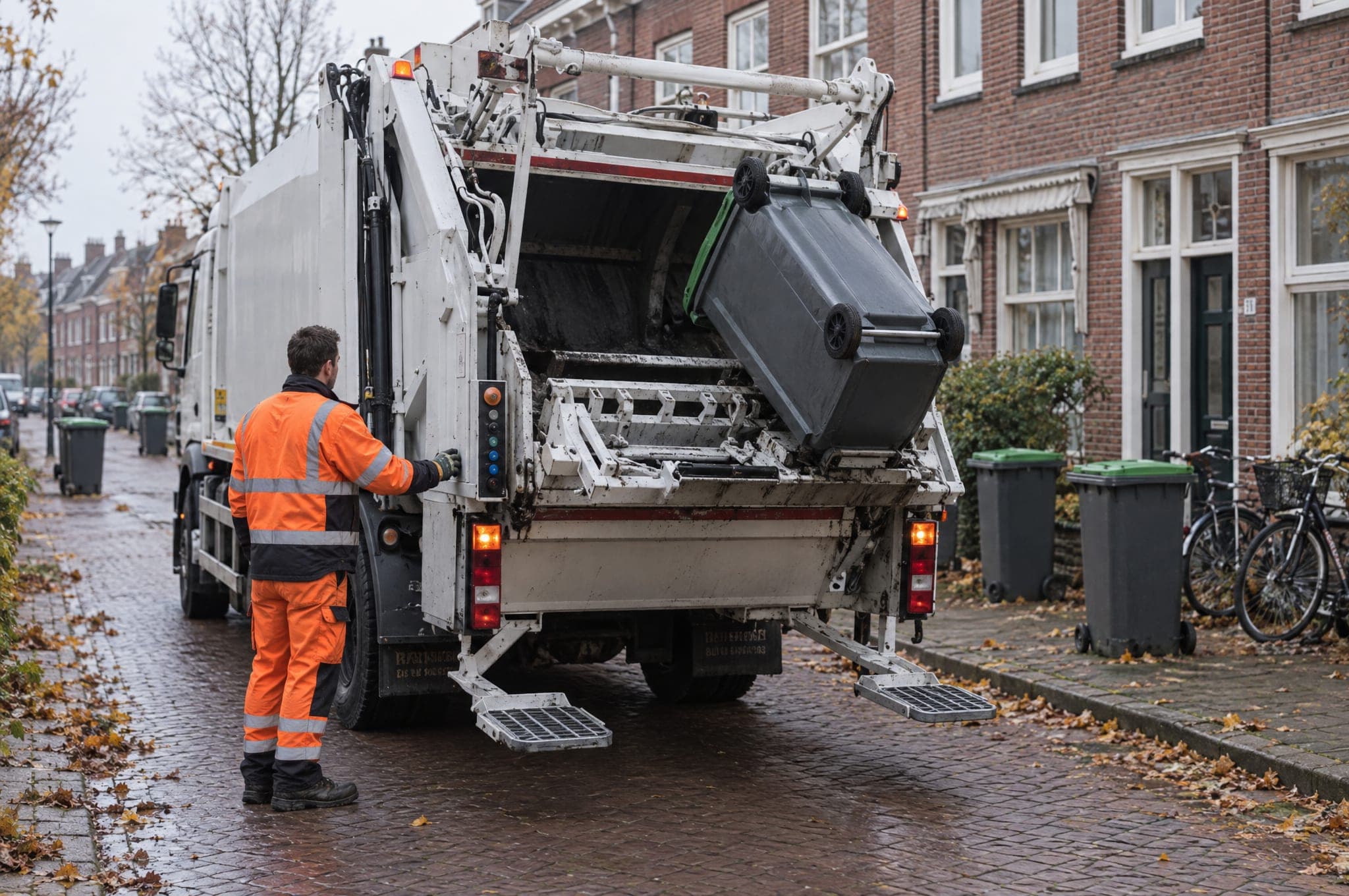
every container, whether it's full or not
142 km
total distance
13
stops (incl. 6 half-empty)
5h 20m
driver time
what if we told you this is already reality?
Measurably smarter.
Proven at Reinis.
25–35%
fewer kilometres
faster response
4×
Faster response to filling containers vs. fixed planning.
side-placements
up to −64%
In comparable sensor deployments (industry benchmark).
proven at Reinis, waste collector for the municipality of Nissewaard
real-time fill levels
Look inside a living district.
Every dot is a container. Every colour is the fill level, right now. The planner sees at a glance what needs to happen today.
28
36
58
78
62
92
81
22
95
55
74
40
North-west district
< 50%, ok
50–70%, monitor
70–90%, plan
> 90%, collect now
2
critical
3
high
3
medium
4
low
one platform · three surfaces
For the planner. For the driver.
For the data.
planner dashboard
The overview planners are missing.
Dynamic routes, anomalies, reporting, desktop-first, multilingual, with an open API to read out your data.
driver app
trip · 08:42
3 / 12
next stop
Kerkplein 12
underground · residual · 92% full
620m3 min
container lid reported broken, 2 days ago
Big buttons.
Short trips.
Short trips.
Designed for the iPad on a dashboard, operable with gloves. Next stop, always in view.
the AI platform
Ask questions. Get answers from live data.
Scoop's AI assistant (beta) looks it up in your live data: fill levels, forecasts, pickups. It answers in plain English. For scenarios, you use the Scenario Builder.
Scoop AI · assistant
beta
ask scoop something…
Forecast per container
A statistical fill forecast from each container's own readings, recalculated with every new sensor batch.
Anomaly detection
8 checks per sensor: silent sensors, fill spikes, flat lines. On one page, with a nightly overview.
AI assistant (beta)
Ask questions about your live data in plain language. Work out scenarios with the sliders in the Scenario Builder.
Reporting & accountability
Reports on demand, in Excel, CSV or PDF: container status, tipping, route and driver performance.
case · Reinis × municipality of Nissewaard
Fully rolled out at Reinis.
Every container, every trip.
"The Friday-afternoon complaints inbox used to be my week.I opened it twice last month. That's the change I notice."

Edwin Bijker
managing director Reinis N.V.
−28%
kilometres driven
−28%
co₂ emissions (calculated from km)
0
overflows since go-live
up to −64%
side-placements · industry benchmark
secure & connected
Infrastructure, not a startup gamble.
GDPR
Data processing agreement as standard. DPIA support per municipality.
99% uptime
Sla with backup operations plan, routes keep running, even during outages.
Open API
Read-only REST API, documented in Swagger. With its own API key per partner.
works with
waste systems
fits into any type of container
sensors / iot
Newwaste LidarSensevia XLwaste
open API
REST, read-onlySwaggerAPI key per partnerresident platform
frequently asked questions
Everything you want to know,
before the demo.
Scoop is software for dynamic waste collection. It combines a statistical fill forecast per container with route optimisation: planners get a dashboard, drivers get an app. Scoop runs on Newwaste's LiDAR sensors and is live at Reinis in Nissewaard, among others.
Sensors measure how full a container is about once an hour. Scoop calculates per container when it will be full and plans only the bins that are due. Routes take vehicle capacity, tipping sites per waste stream, maximum route duration and the lunch break into account. The planner can always step in, even during the trip.
Four things are on your side: the sensor feed, the master data for your containers, phones or tablets for the drivers, and someone who keeps track of data issues. Scoop shows which sensors are off, but someone on your team has to look at them.
Yes. Per container you choose fixed or dynamic. Bins without a sensor keep a fixed rhythm, in the same plan as the bins with a sensor. That way you expand step by step.
With Newwaste. Newwaste supplies the sensors and hardware, signs the contract and also invoices the scoop software. So you deal with one party for both contract and invoice.
We're flexible on scope: from a defined part of your service area to a full rollout in one go. The biggest gains, route optimisation, fewer kilometres, fewer overflows, only really show up at service-area-wide scale. Together we choose the starting shape that fits your planning and budget.
plan a demo
Let us show you the kilometres
you'll save.
First a 30-minute intro call, then a 45-minute live demo on your own district data. We bring a planner and a driver along.